
Ridgeway trails
Click on a trail to view its statistics, map and profile.
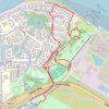
Crossway Park ex golf course
United Kingdom > England > London
Lunch Walk
Distance: 2.9 mi • Elevation gain: 79 ft • Maximum elevation: 26 ft
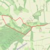
Farley Mount track
United Kingdom > England > Hampshire > Test Valley > Ashley
Distance: 4.0 mi • Elevation gain: 463 ft • Maximum elevation: 564 ft
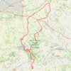
Wayland’s Smithy, Ridgeway, Savernake
United Kingdom > England > Wiltshire > Burbage > Eastcourt
Distance: 45.9 mi • Elevation gain: 3,173 ft • Maximum elevation: 909 ft
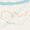
Jones Cliff Trail in Gravely Nature Preserve
United States > Virginia > Henry County > Ridgeway
Distance: 0.6 mi • Elevation gain: 59 ft • Maximum elevation: 784 ft