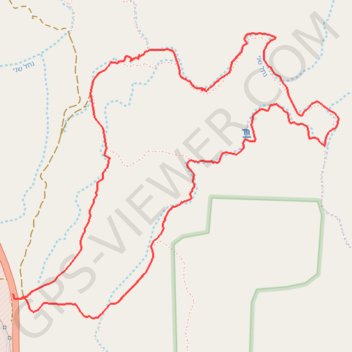
Red Canyon
Interactive trail map
Trail profile
- Distance: 4.7 mi
- Elevation gain: 817 ft
- Maximum elevation: 2,464 ft
- Elevation loss: 820 ft
- Minimum elevation: 1,988 ft
About this trail
Name: Red Canyon trail, distance, elevation, map, profile, GPS track
Coordinates: 29.66804 34.87032 29.68327 34.89035
Other hiking, mountain biking, running and outdoor activity trails
Click on a trail to view its statistics, map and profile.
Shani, Red Canyon and Rehem
Israel > South District > Hevel Eilot Regional Council
הקניון האדום: ורחם בין מצוקים אדומים ושני הנחלים המרכזים של הרי אילת
Distance: 15.4 mi • Elevation gain: 3,852 ft • Maximum elevation: 2,779 ft
Mount Yehoram to Beer Ora
Israel > South District > Hevel Eilot Regional Council
הר יהורם לבאר אורה: קו ארוך וטכני בין הרי אילת
Distance: 17.7 mi • Elevation gain: 3,202 ft • Maximum elevation: 2,218 ft