Bald Hills
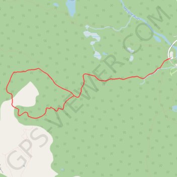
Interactive trail map
Trail profile
- Distance: 5.7 mi
- Elevation gain: 1,558 ft
- Maximum elevation: 7,123 ft
- Elevation loss: 1,565 ft
- Minimum elevation: 5,554 ft
About this trail
Name: Bald Hills trail, distance, elevation, map, profile, GPS track
Start: Maligne Lake road, Improvement District No. 12, Alberta, Canada (52.72586 -117.64531)
End: Maligne Lake road, Improvement District No. 12, Alberta, Canada (52.72584 -117.64490)
Coordinates: 52.71518 -117.69346 52.72590 -117.64490
Other hiking, mountain biking, running and outdoor activity trails
Click on a trail to view its statistics, map and profile.