Teal-Blazed Trail SGL 170
- Distance: 3.4 mi
- Elevation gain: 262 ft
- Maximum elevation: 1,220 ft
- Elevation loss: 256 ft
- Minimum elevation: 1,119 ft
- Moving time: 1 h 5 m
- Moving speed: 3.1 mph
- Maximum speed: 6.8 mph
- Total time: 1 h 7 m
- Global speed: 3.0 mph
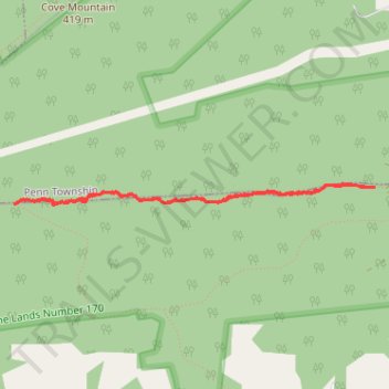
Interactive trail map
Trail profile
- Distance: 3.4 mi
- Elevation gain: 262 ft
- Maximum elevation: 1,220 ft
- Elevation loss: 256 ft
- Minimum elevation: 1,119 ft
- Moving time: 1 h 5 m
- Moving speed: 3.1 mph
- Maximum speed: 6.8 mph
- Total time: 1 h 7 m
- Global speed: 3.0 mph
About this trail
Name: Teal-Blazed Trail SGL 170 trail, distance, elevation, map, profile, GPS track
Start: Teal-Blazed Trail, Rye Township, Perry County, Pennsylvania, United States (40.34052 -77.06587)
End: Teal-Blazed Trail, Rye Township, Perry County, Pennsylvania, United States (40.34053 -77.06529)
Coordinates: 40.33941 -77.09492 40.34074 -77.06529
Topography: Rye Township topographic map, elevation, terrain