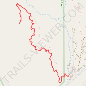
Chimney Rock hike
- Distance: 2.0 mi
- Elevation gain: 243 ft
- Maximum elevation: 7,047 ft
- Elevation loss: 636 ft
- Minimum elevation: 6,453 ft
- Moving time: 46 m 3 s
- Moving speed: 2.5 mph
- Maximum speed: 3.6 mph
- Total time: 1 h 6 m
- Global speed: 1.8 mph
Interactive trail map
Trail profile
- Distance: 2.0 mi
- Elevation gain: 243 ft
- Maximum elevation: 7,047 ft
- Elevation loss: 636 ft
- Minimum elevation: 6,453 ft
- Moving time: 46 m 3 s
- Moving speed: 2.5 mph
- Maximum speed: 3.6 mph
- Total time: 1 h 6 m
- Global speed: 1.8 mph
About this trail
Name: Chimney Rock hike trail, distance, elevation, map, profile, GPS track
Coordinates: 36.32944 -106.48447 36.34113 -106.47467
Topography: Rio Arriba County topographic map, elevation, terrain