Import a GPX file

South Clevenger Canyon Trail

Hike on the South Clevenger Canyon Trail in the San Pasqual - Clevenger Canyon Open Space Park. #Hiking #Mountain #Nature #Canyon #Park

  • Distance: 2.2 mi
  • Elevation gain: 1,047 ft
  • Maximum elevation: 1,647 ft
  • Elevation loss: 105 ft
  • Minimum elevation: 636 ft

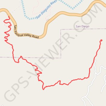
Interactive trail map

Trail profile

  • Distance: 2.2 mi
  • Elevation gain: 1,047 ft
  • Maximum elevation: 1,647 ft
  • Elevation loss: 105 ft
  • Minimum elevation: 636 ft

About this trail

Gear up for your next adventure:

📖Nature Tracking Books - Learn to track wildlife and terrain
❄️Traction Cleats - Prevent slips on icy trails during winter hikes
🥾Hiking Shoes - Durable and comfortable shoes for trail hiking
🧣Hiking Neck Gaiter - Multi‑use neck protection for outdoor weather
Camping Coffee Makers - Enjoy premium coffee at the summit or campsite

As an Amazon Associate, this site earns from qualifying purchases at no extra cost to you.