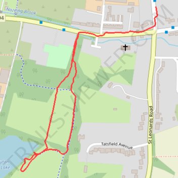
Clayton hill lake paths
- Distance: 0.9 mi
- Elevation gain: 39 ft
- Maximum elevation: 105 ft
- Elevation loss: 30 ft
- Minimum elevation: 82 ft
- Moving time: 20 m 30 s
- Moving speed: 2.6 mph
- Maximum speed: 4.1 mph
- Total time: 23 m 28 s
- Global speed: 2.3 mph
Interactive trail map
Trail profile
- Distance: 0.9 mi
- Elevation gain: 39 ft
- Maximum elevation: 105 ft
- Elevation loss: 30 ft
- Minimum elevation: 82 ft
- Moving time: 20 m 30 s
- Moving speed: 2.6 mph
- Maximum speed: 4.1 mph
- Total time: 23 m 28 s
- Global speed: 2.3 mph
About this trail
Name: Clayton hill lake paths trail, distance, elevation, map, profile, GPS track
Coordinates: 51.73149 0.00659 51.73619 0.01289