
Noble Canyon
Interactive trail map
Trail profile
- Distance: 2.7 mi
- Elevation gain: 413 ft
- Maximum elevation: 4,216 ft
- Elevation loss: 528 ft
- Minimum elevation: 3,707 ft
About this trail
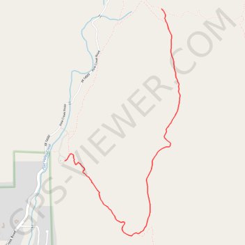
Name: Noble Canyon trail, distance, elevation, map, profile, GPS track
Start: Noble Canyon Trail, San Diego County, California, 91962, United States (32.86472 -116.51142)
End: Noble Canyon Trail, San Diego County, California, 91962, United States (32.84975 -116.52278)
Coordinates: 32.84230 -116.52278 32.86472 -116.50923
Topography: San Diego County topographic map, elevation, terrain