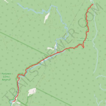
Mangaone Walkway
- Distance: 9.6 mi
- Elevation gain: 1,864 ft
- Maximum elevation: 873 ft
- Elevation loss: 1,864 ft
- Minimum elevation: 410 ft
- Moving time: 3 h 22 m
- Moving speed: 2.8 mph
- Maximum speed: 4.9 mph
- Total time: 3 h 55 m
- Global speed: 2.4 mph
Interactive trail map
Trail profile
- Distance: 9.6 mi
- Elevation gain: 1,864 ft
- Maximum elevation: 873 ft
- Elevation loss: 1,864 ft
- Minimum elevation: 410 ft
- Moving time: 3 h 22 m
- Moving speed: 2.8 mph
- Maximum speed: 4.9 mph
- Total time: 3 h 55 m
- Global speed: 2.4 mph
About this trail
Name: Mangaone Walkway trail, distance, elevation, map, profile, GPS track
Coordinates: -40.87734 175.13225 -40.84011 175.17261