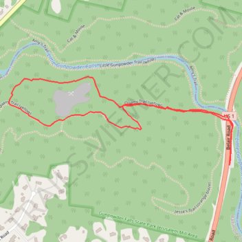
Quarry Trail (yellow)
- Distance: 1.6 mi
- Elevation gain: 331 ft
- Maximum elevation: 427 ft
- Elevation loss: 325 ft
- Minimum elevation: 230 ft
- Moving time: 38 m 5 s
- Moving speed: 2.6 mph
- Maximum speed: 4.1 mph
- Total time: 41 m 55 s
- Global speed: 2.3 mph
Interactive trail map
Trail profile
- Distance: 1.6 mi
- Elevation gain: 331 ft
- Maximum elevation: 427 ft
- Elevation loss: 325 ft
- Minimum elevation: 230 ft
- Moving time: 38 m 5 s
- Moving speed: 2.6 mph
- Maximum speed: 4.1 mph
- Total time: 41 m 55 s
- Global speed: 2.3 mph
About this trail
Name: Quarry Trail (yellow) trail, distance, elevation, map, profile, GPS track
Coordinates: 39.47452 -76.41879 39.47773 -76.40827
Topography: Baltimore County topographic map, elevation, terrain