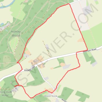
Honley woods and Wood Nook
- Distance: 2.3 mi
- Elevation gain: 203 ft
- Maximum elevation: 778 ft
- Elevation loss: 203 ft
- Minimum elevation: 607 ft
- Moving time: 1 h 16 m
- Moving speed: 1.8 mph
- Maximum speed: 3.9 mph
- Total time: 1 h 26 m
- Global speed: 1.6 mph
Interactive trail map
Trail profile
- Distance: 2.3 mi
- Elevation gain: 203 ft
- Maximum elevation: 778 ft
- Elevation loss: 203 ft
- Minimum elevation: 607 ft
- Moving time: 1 h 16 m
- Moving speed: 1.8 mph
- Maximum speed: 3.9 mph
- Total time: 1 h 26 m
- Global speed: 1.6 mph
About this trail
Name: Honley woods and Wood Nook trail, distance, elevation, map, profile, GPS track
Coordinates: 53.59163 -1.82550 53.60258 -1.81119
Other hiking, mountain biking, running and outdoor activity trails
Click on a trail to view its statistics, map and profile.
Orchids in Honley wood and Wood Nook
United Kingdom > England > Kirklees > Meltham
Distance: 4.3 mi • Elevation gain: 512 ft • Maximum elevation: 781 ft