
Teslin River Canoe
- Distance: 25.5 mi
- Elevation gain: 961 ft
- Maximum elevation: 2,205 ft
- Elevation loss: 1,073 ft
- Minimum elevation: 1,959 ft
- Moving time: 3 h 40 m
- Moving speed: 6.9 mph
- Maximum speed: 13.8 mph
- Total time: 3 h 58 m
- Global speed: 6.4 mph
Interactive trail map
Trail profile
- Distance: 25.5 mi
- Elevation gain: 961 ft
- Maximum elevation: 2,205 ft
- Elevation loss: 1,073 ft
- Minimum elevation: 1,959 ft
- Moving time: 3 h 40 m
- Moving speed: 6.9 mph
- Maximum speed: 13.8 mph
- Total time: 3 h 58 m
- Global speed: 6.4 mph
About this trail
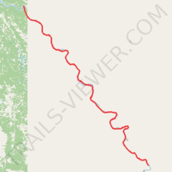
Name: Teslin River Canoe trail, distance, elevation, map, profile, GPS track
Start: Yukon, Canada (61.01602 -134.15147)
End: Yukon, Canada (61.23658 -134.50929)
Coordinates: 61.01596 -134.50963 61.23673 -134.15099