Ah-Shi-Sle-Pah Loop
Interactive trail map
Trail profile
- Distance: 2.3 mi
- Elevation gain: 138 ft
- Maximum elevation: 6,299 ft
- Elevation loss: 138 ft
- Minimum elevation: 6,230 ft
About this trail
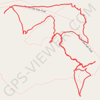
Name: Ah-Shi-Sle-Pah Loop trail, distance, elevation, map, profile, GPS track
Start: Ah-Shi-Sle-Pah-Trail, San Juan County, New Mexico, United States (36.14699 -107.91920)
End: Ah-Shi-Sle-Pah-Trail, San Juan County, New Mexico, United States (36.14702 -107.91925)
Coordinates: 36.14699 -107.92519 36.15283 -107.91806
Topography: San Juan County topographic map, elevation, terrain