Staničenje - Belava- Crvena Stena
- Distance: 2.1 mi
- Elevation gain: 869 ft
- Maximum elevation: 1,749 ft
- Elevation loss: 869 ft
- Minimum elevation: 1,099 ft
- Moving time: 1 h 42 m
- Moving speed: 1.2 mph
- Maximum speed: 2.2 mph
- Total time: 3 h 7 m
- Global speed: 0.7 mph
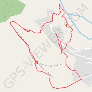
Interactive trail map
Trail profile
- Distance: 2.1 mi
- Elevation gain: 869 ft
- Maximum elevation: 1,749 ft
- Elevation loss: 869 ft
- Minimum elevation: 1,099 ft
- Moving time: 1 h 42 m
- Moving speed: 1.2 mph
- Maximum speed: 2.2 mph
- Total time: 3 h 7 m
- Global speed: 0.7 mph
About this trail
Name: Staničenje - Belava- Crvena Stena trail, distance, elevation, map, profile, GPS track
Start: Stanicenje, City of Pirot, Pirot Administrative District, Central Serbia, Serbia (43.20257 22.50571)
Coordinates: 43.20188 22.49818 43.20847 22.50586