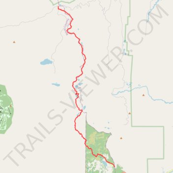
Wyoming Trail to Buffalo Pass
- Distance: 15.0 mi
- Elevation gain: 1,883 ft
- Maximum elevation: 10,610 ft
- Elevation loss: 1,145 ft
- Minimum elevation: 9,577 ft
- Moving time: 8 h 17 m
- Moving speed: 1.8 mph
- Maximum speed: 4.9 mph
- Total time: 8 h 29 m
- Global speed: 1.8 mph
Interactive trail map
Trail profile
- Distance: 15.0 mi
- Elevation gain: 1,883 ft
- Maximum elevation: 10,610 ft
- Elevation loss: 1,145 ft
- Minimum elevation: 9,577 ft
- Moving time: 8 h 17 m
- Moving speed: 1.8 mph
- Maximum speed: 4.9 mph
- Total time: 8 h 29 m
- Global speed: 1.8 mph
About this trail
Name: Wyoming Trail to Buffalo Pass trail, distance, elevation, map, profile, GPS track
Start: Base Camp (Cdnst) Road, Jackson County, Colorado, United States (40.40140 -106.61827)
End: CR 60, Routt County, Colorado, United States (40.54398 -106.68456)
Coordinates: 40.40139 -106.68456 40.54398 -106.61827
Topography: Jackson County topographic map, elevation, terrain