Peak Trail and Legge Lookout
- Distance: 20.7 mi
- Elevation gain: 5,873 ft
- Maximum elevation: 2,720 ft
- Elevation loss: 5,883 ft
- Minimum elevation: 108 ft
- Moving time: 4 h 38 m
- Moving speed: 4.5 mph
- Maximum speed: 9.3 mph
- Total time: 5 h 4 m
- Global speed: 4.1 mph
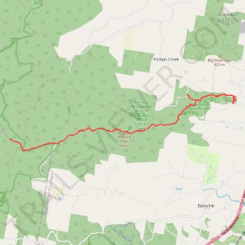
Interactive trail map
Trail profile
- Distance: 20.7 mi
- Elevation gain: 5,873 ft
- Maximum elevation: 2,720 ft
- Elevation loss: 5,883 ft
- Minimum elevation: 108 ft
- Moving time: 4 h 38 m
- Moving speed: 4.5 mph
- Maximum speed: 9.3 mph
- Total time: 5 h 4 m
- Global speed: 4.1 mph
About this trail
Name: Peak Trail and Legge Lookout trail, distance, elevation, map, profile, GPS track
Coordinates: -30.35167 152.94521 -30.32897 153.05015