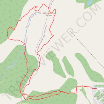
Baldy Mountain
- Distance: 5.5 mi
- Elevation gain: 1,713 ft
- Maximum elevation: 7,556 ft
- Elevation loss: 1,719 ft
- Minimum elevation: 5,866 ft
- Moving time: 2 h 46 m
- Moving speed: 2.0 mph
- Maximum speed: 5.1 mph
- Total time: 5 h 8 m
- Global speed: 1.1 mph
Interactive trail map
Trail profile
- Distance: 5.5 mi
- Elevation gain: 1,713 ft
- Maximum elevation: 7,556 ft
- Elevation loss: 1,719 ft
- Minimum elevation: 5,866 ft
- Moving time: 2 h 46 m
- Moving speed: 2.0 mph
- Maximum speed: 5.1 mph
- Total time: 5 h 8 m
- Global speed: 1.1 mph
About this trail
Name: Baldy Mountain trail, distance, elevation, map, profile, GPS track
Coordinates: 49.15087 -119.26492 49.16710 -119.24189
Other hiking, mountain biking, running and outdoor activity trails
Click on a trail to view its statistics, map and profile.