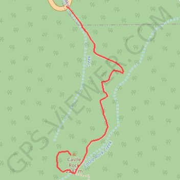
Import a GPX file

Castle Rock

Hike to the Castle Rock from Big Bear Lake along the Castle Rock Creek in the San Bernardino National Forest. #Hiking #Mountain #Forest #River #Lake #Nature

  • Distance: 0.7 mi
  • Elevation gain: 528 ft
  • Maximum elevation: 7,395 ft
  • Elevation loss: 20 ft
  • Minimum elevation: 6,867 ft

Interactive trail map

Trail profile

  • Distance: 0.7 mi
  • Elevation gain: 528 ft
  • Maximum elevation: 7,395 ft
  • Elevation loss: 20 ft
  • Minimum elevation: 6,867 ft

About this trail

Gear up for your next adventure:

🪑Ultralight Camp Chairs - Portable seating for resting after a long day of mapping
🪶LED Camping Lantern - Bright lantern for camp lighting
🪑Portable Camp Table - Compact table for campsite meals
🛠️Backpacking Tool Kit - Essential toolkit for outdoor repairs
🛏️Cold Weather Sleeping Bag - Warm sleeping bag for cold conditions

As an Amazon Associate, this site earns from qualifying purchases at no extra cost to you.