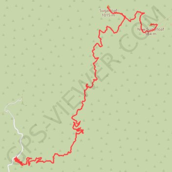
Sugarloaf and New Sugarloaf
Interactive trail map
Trail profile
- Distance: 7.2 mi
- Elevation gain: 3,488 ft
- Maximum elevation: 3,258 ft
- Elevation loss: 1,178 ft
- Minimum elevation: 853 ft
About this trail
Name: Sugarloaf and New Sugarloaf trail, distance, elevation, map, profile, GPS track
End: San Juan Trail, Orange County, California, United States (33.62574 -117.48076)
Coordinates: 33.59990 -117.51084 33.62914 -117.47929
Topography: Orange County topographic map, elevation, terrain