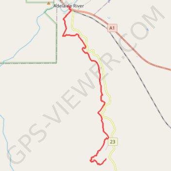
Adelaide River - Robin Falls
- Distance: 12.0 mi
- Elevation gain: 1,217 ft
- Maximum elevation: 705 ft
- Elevation loss: 1,135 ft
- Minimum elevation: 151 ft
Interactive trail map
Trail profile
- Distance: 12.0 mi
- Elevation gain: 1,217 ft
- Maximum elevation: 705 ft
- Elevation loss: 1,135 ft
- Minimum elevation: 151 ft
About this trail
Name: Adelaide River - Robin Falls trail, distance, elevation, map, profile, GPS track
End: Robin Falls Road, Robin Falls, Coomalie Shire, Northern Territory, Australia (-13.35080 131.13534)
Coordinates: -13.35462 131.10281 -13.23927 131.13694
Other hiking, mountain biking, running and outdoor activity trails
Click on a trail to view its statistics, map and profile.
Robin Falls Trail
Distance: 7.3 mi • Elevation gain: 1,112 ft • Maximum elevation: 709 ft