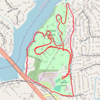
Geitner Rotary Park Loop
- Distance: 4.8 mi
- Elevation gain: 427 ft
- Maximum elevation: 1,076 ft
- Elevation loss: 427 ft
- Minimum elevation: 945 ft
- Moving time: 53 m 46 s
- Moving speed: 5.3 mph
- Maximum speed: 15.7 mph
- Total time: 58 m 21 s
- Global speed: 4.9 mph
Interactive trail map
Trail profile
- Distance: 4.8 mi
- Elevation gain: 427 ft
- Maximum elevation: 1,076 ft
- Elevation loss: 427 ft
- Minimum elevation: 945 ft
- Moving time: 53 m 46 s
- Moving speed: 5.3 mph
- Maximum speed: 15.7 mph
- Total time: 58 m 21 s
- Global speed: 4.9 mph
About this trail
Name: Geitner Rotary Park Loop trail, distance, elevation, map, profile, GPS track
Coordinates: 35.75367 -81.37508 35.76554 -81.36748
Topography: Hickory topographic map, elevation, terrain