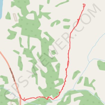
Caribou Mountain Hike Yukon Canada
- Distance: 5.4 mi
- Elevation gain: 3,373 ft
- Maximum elevation: 5,751 ft
- Elevation loss: 3,376 ft
- Minimum elevation: 2,405 ft
- Moving time: 3 h 28 m
- Moving speed: 1.6 mph
- Maximum speed: 9.5 mph
- Total time: 5 h 37 m
- Global speed: 1.0 mph
Interactive trail map
Trail profile
- Distance: 5.4 mi
- Elevation gain: 3,373 ft
- Maximum elevation: 5,751 ft
- Elevation loss: 3,376 ft
- Minimum elevation: 2,405 ft
- Moving time: 3 h 28 m
- Moving speed: 1.6 mph
- Maximum speed: 9.5 mph
- Total time: 5 h 37 m
- Global speed: 1.0 mph
About this trail
Name: Caribou Mountain Hike Yukon Canada trail, distance, elevation, map, profile, GPS track
Start: Klondike Highway, Whitehorse, Yukon, Canada (60.22680 -134.72682)
End: Klondike Highway, Whitehorse, Yukon, Canada (60.22683 -134.72692)
Coordinates: 60.22536 -134.72692 60.24706 -134.69751