Middle Patuxent Environmental Area South
- Distance: 5.5 mi
- Elevation gain: 374 ft
- Maximum elevation: 394 ft
- Elevation loss: 374 ft
- Minimum elevation: 276 ft
- Moving time: 1 h 20 m
- Moving speed: 4.1 mph
- Maximum speed: 9.3 mph
- Total time: 1 h 22 m
- Global speed: 4.0 mph
Interactive trail map
Trail profile
- Distance: 5.5 mi
- Elevation gain: 374 ft
- Maximum elevation: 394 ft
- Elevation loss: 374 ft
- Minimum elevation: 276 ft
- Moving time: 1 h 20 m
- Moving speed: 4.1 mph
- Maximum speed: 9.3 mph
- Total time: 1 h 22 m
- Global speed: 4.0 mph
About this trail
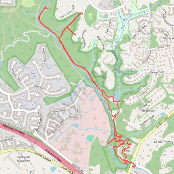
Name: Middle Patuxent Environmental Area South trail, distance, elevation, map, profile, GPS track
Coordinates: 39.18798 -76.90776 39.20649 -76.89325
Topography: Howard County topographic map, elevation, terrain