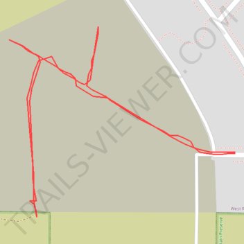
2025_12_12T21_47_48Z
- Distance: 0.6 mi
- Elevation gain: 128 ft
- Maximum elevation: 797 ft
- Elevation loss: 128 ft
- Minimum elevation: 679 ft
- Moving time: 10 m 6 s
- Moving speed: 3.4 mph
- Maximum speed: 4.3 mph
- Total time: 10 m 6 s
- Global speed: 3.4 mph
Interactive trail map
Trail profile
- Distance: 0.6 mi
- Elevation gain: 128 ft
- Maximum elevation: 797 ft
- Elevation loss: 128 ft
- Minimum elevation: 679 ft
- Moving time: 10 m 6 s
- Moving speed: 3.4 mph
- Maximum speed: 4.3 mph
- Total time: 10 m 6 s
- Global speed: 3.4 mph
About this trail
Name: 2025_12_12T21_47_48Z trail, distance, elevation, map, profile, GPS track
Coordinates: 46.25698 -119.35635 46.25859 -119.35359
Topography: Benton County topographic map, elevation, terrain