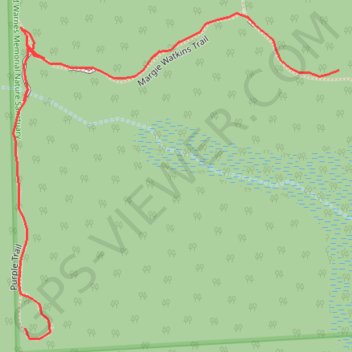
Wilcox Warnes Nature Sanctuary Trails in Shelby Township, MI
Interactive trail map
Trail profile
- Distance: 0.3 mi
- Elevation gain: 10 ft
- Maximum elevation: 676 ft
- Elevation loss: 10 ft
- Minimum elevation: 663 ft
- Moving time: 10 m 38 s
- Moving speed: 1.6 mph
- Maximum speed: 2.8 mph
- Total time: 15 m 7 s
- Global speed: 1.1 mph
About this trail
Name: Wilcox Warnes Nature Sanctuary Trails in Shelby Township, MI trail, distance, elevation, map, profile, GPS track
Coordinates: 42.70829 -83.00095 42.70989 -82.99877
Topography: Macomb County topographic map, elevation, terrain