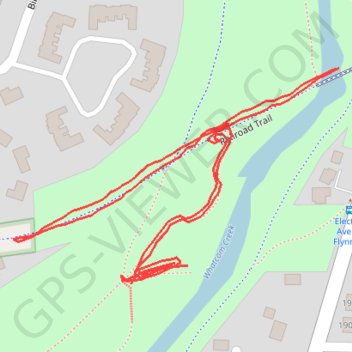
Railroad Trail
- Distance: 0.9 mi
- Elevation gain: 66 ft
- Maximum elevation: 361 ft
- Elevation loss: 79 ft
- Minimum elevation: 318 ft
- Moving time: 19 m 36 s
- Moving speed: 2.7 mph
- Maximum speed: 4.5 mph
- Total time: 20 m 12 s
- Global speed: 2.6 mph
Interactive trail map
Trail profile
- Distance: 0.9 mi
- Elevation gain: 66 ft
- Maximum elevation: 361 ft
- Elevation loss: 79 ft
- Minimum elevation: 318 ft
- Moving time: 19 m 36 s
- Moving speed: 2.7 mph
- Maximum speed: 4.5 mph
- Total time: 20 m 12 s
- Global speed: 2.6 mph
About this trail
Name: Railroad Trail trail, distance, elevation, map, profile, GPS track
Coordinates: 48.75530 -122.42637 48.75708 -122.42230
Topography: Bellingham topographic map, elevation, terrain