Track-brommers kieken in karke steenderen 10 aug 2024
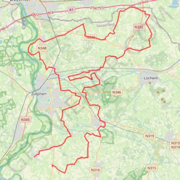
- Distance: 63.2 mi
- Elevation gain: 463 ft
- Maximum elevation: 52 ft
- Elevation loss: 463 ft
- Minimum elevation: 16 ft
Interactive trail map
Trail profile
- Distance: 63.2 mi
- Elevation gain: 463 ft
- Maximum elevation: 52 ft
- Elevation loss: 463 ft
- Minimum elevation: 16 ft
About this trail
Name: Track-brommers kieken in karke steenderen 10 aug 2024 trail, distance, elevation, map, profile, GPS track
Coordinates: 52.04361 6.17402 52.24398 6.41649