Import a GPX file

Whiting Ranch Wilderness Park

Hike from Foothill Ranch through Whiting Ranch Wilderness Park via Borrego Canyon Trail and Red Rock Canyon Trail. #Hiking #Canyon #Nature #Forest #Park

  • Distance: 2.1 mi
  • Elevation gain: 558 ft
  • Maximum elevation: 1,299 ft
  • Elevation loss: 72 ft
  • Minimum elevation: 814 ft

Interactive trail map
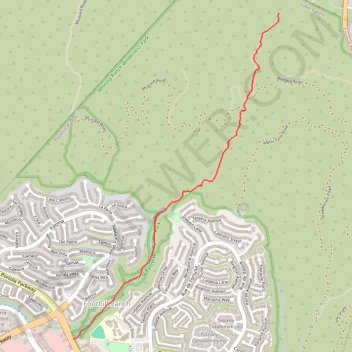
Trail profile

  • Distance: 2.1 mi
  • Elevation gain: 558 ft
  • Maximum elevation: 1,299 ft
  • Elevation loss: 72 ft
  • Minimum elevation: 814 ft

About this trail

Gear up for your next adventure:

🎒Trekking Poles - Sturdy poles for balance and stability on rough terrain
🥩Freeze-Dried Meals - Nutritious and lightweight food for remote expeditions
🎒Outdoor Daypacks - Lightweight backpacks designed for carrying maps and essential gear
🦺Reflective Outdoor Gear - Safety gear for low‑light conditions
🪶Multi‑Purpose Knife - Useful blade for camp and trail

As an Amazon Associate, this site earns from qualifying purchases at no extra cost to you.