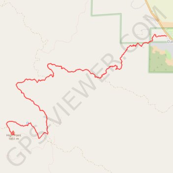
High Point
Interactive trail map
Trail profile
- Distance: 6.6 mi
- Elevation gain: 3,619 ft
- Maximum elevation: 6,125 ft
- Elevation loss: 262 ft
- Minimum elevation: 2,746 ft
About this trail
Name: High Point trail, distance, elevation, map, profile, GPS track
Start: Oak Grove Trail, Oak Grove, San Diego County, California, United States (33.38634 -116.79203)
End: High Point Lookout Road, San Diego County, California, United States (33.36337 -116.83647)
Coordinates: 33.36155 -116.83840 33.38666 -116.79203
Topography: San Diego County topographic map, elevation, terrain