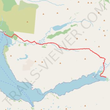
Hike from Sourlies to Inverie
- Distance: 9.6 mi
- Elevation gain: 2,096 ft
- Maximum elevation: 1,801 ft
- Elevation loss: 2,100 ft
- Minimum elevation: 0 ft
- Moving time: 4 h 41 m
- Moving speed: 2.0 mph
- Maximum speed: 3.6 mph
- Total time: 7 h 32 m
- Global speed: 1.3 mph
Interactive trail map
Trail profile
- Distance: 9.6 mi
- Elevation gain: 2,096 ft
- Maximum elevation: 1,801 ft
- Elevation loss: 2,100 ft
- Minimum elevation: 0 ft
- Moving time: 4 h 41 m
- Moving speed: 2.0 mph
- Maximum speed: 3.6 mph
- Total time: 7 h 32 m
- Global speed: 1.3 mph
About this trail
Name: Hike from Sourlies to Inverie trail, distance, elevation, map, profile, GPS track
Start: Sourlies, Highland, Scotland, United Kingdom (56.99735 -5.51272)
Coordinates: 56.99711 -5.68279 57.03745 -5.51272
Other hiking, mountain biking, running and outdoor activity trails
Click on a trail to view its statistics, map and profile.
Hike from A Chùil to Sourlies
United Kingdom > Scotland > Highland
Distance: 8.0 mi • Elevation gain: 1,237 ft • Maximum elevation: 1,037 ft