Batiquitos Lagoon
Interactive trail map
Trail profile
- Distance: 1.6 mi
- Elevation gain: 79 ft
- Maximum elevation: 36 ft
- Elevation loss: 69 ft
- Minimum elevation: 3 ft
About this trail
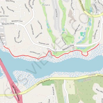
Name: Batiquitos Lagoon trail, distance, elevation, map, profile, GPS track
Coordinates: 33.09102 -117.30132 33.09396 -117.27929
Topography: Carlsbad topographic map, elevation, terrain