Brick Hill
Interactive trail map
Trail profile
- Distance: 1.8 mi
- Elevation gain: 823 ft
- Maximum elevation: 850 ft
- Elevation loss: 869 ft
- Minimum elevation: 23 ft
- Moving time: 48 m 28 s
- Moving speed: 2.3 mph
- Maximum speed: 11.2 mph
- Total time: 1 h 44 m
- Global speed: 1.1 mph
About this trail
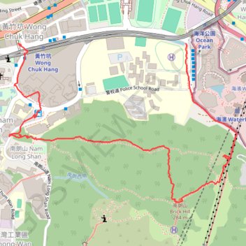
Name: Brick Hill trail, distance, elevation, map, profile, GPS track
Coordinates: 22.24170 114.16608 22.24800 114.17582
Other hiking, mountain biking, running and outdoor activity trails
Click on a trail to view its statistics, map and profile.
Wilson Trail Full Route
China > Hong Kong > Hong Kong Island
Distance: 50.5 mi • Elevation gain: 14,534 ft • Maximum elevation: 2,011 ft
Hong Kong island ride
China > Hong Kong > Hong Kong Island
#Bike
Distance: 38.4 mi • Elevation gain: 7,060 ft • Maximum elevation: 1,657 ft