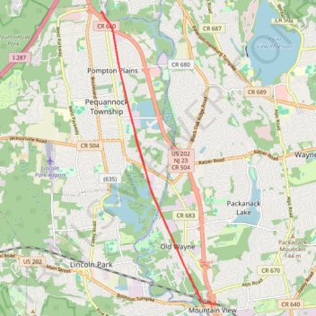
Trace of the completed Pompton Valley Rail Trail in Pompton Plains, NJ
- Distance: 10.4 mi
- Elevation gain: 187 ft
- Maximum elevation: 203 ft
- Elevation loss: 187 ft
- Minimum elevation: 161 ft
- Moving time: 1 h 29 m
- Moving speed: 6.9 mph
- Maximum speed: 11.8 mph
- Total time: 1 h 54 m
- Global speed: 5.4 mph
Interactive trail map
Trail profile
- Distance: 10.4 mi
- Elevation gain: 187 ft
- Maximum elevation: 203 ft
- Elevation loss: 187 ft
- Minimum elevation: 161 ft
- Moving time: 1 h 29 m
- Moving speed: 6.9 mph
- Maximum speed: 11.8 mph
- Total time: 1 h 54 m
- Global speed: 5.4 mph
About this trail
Name: Trace of the completed Pompton Valley Rail Trail in Pompton Plains, NJ trail, distance, elevation, map, profile, GPS track
Coordinates: 40.91526 -74.29902 40.98140 -74.26499
Topography: Morris County topographic map, elevation, terrain