Thank you for supporting this site ❤️
Make a donation
Make a donation
Gear up for your next adventure:
As an Amazon Associate, this site earns from qualifying purchases at no extra cost to you.
Mitre: Epping Far East
- Distance: 4.7 mi
- Elevation gain: 413 ft
- Maximum elevation: 377 ft
- Elevation loss: 387 ft
- Minimum elevation: 197 ft
- Moving time: 1 h 40 m
- Moving speed: 2.8 mph
- Maximum speed: 7.6 mph
- Total time: 1 h 40 m
- Global speed: 2.8 mph
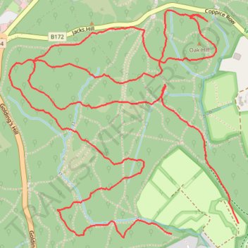
Interactive trail map
Thank you for supporting this site ❤️
Make a donation
Make a donation
Gear up for your next adventure:
As an Amazon Associate, this site earns from qualifying purchases at no extra cost to you.
Trail profile
- Distance: 4.7 mi
- Elevation gain: 413 ft
- Maximum elevation: 377 ft
- Elevation loss: 387 ft
- Minimum elevation: 197 ft
- Moving time: 1 h 40 m
- Moving speed: 2.8 mph
- Maximum speed: 7.6 mph
- Total time: 1 h 40 m
- Global speed: 2.8 mph
Thank you for supporting this site ❤️
Make a donation
Make a donation
Gear up for your next adventure:
As an Amazon Associate, this site earns from qualifying purchases at no extra cost to you.
About this trail
Name: Mitre: Epping Far East trail, distance, elevation, map, profile, GPS track
Coordinates: 51.66558 0.06322 51.67647 0.08092
Thank you for supporting this site ❤️
Make a donation
Make a donation
Gear up for your next adventure:
As an Amazon Associate, this site earns from qualifying purchases at no extra cost to you.