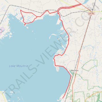
Lake Moultrie East Dike
- Distance: 49.9 mi
- Elevation gain: 636 ft
- Maximum elevation: 102 ft
- Elevation loss: 636 ft
- Minimum elevation: 56 ft
- Moving time: 4 h 7 m
- Moving speed: 12.1 mph
- Maximum speed: 25.8 mph
- Total time: 5 h 14 m
- Global speed: 9.5 mph
Interactive trail map
Trail profile
About this trail
Name: Lake Moultrie East Dike trail, distance, elevation, map, profile, GPS track
Start: Old Black Oak Road, Berkeley County, South Carolina, 29431, United States (33.25785 -79.98242)
End: Old Black Oak Road, Berkeley County, South Carolina, 29431, United States (33.25783 -79.98242)
Coordinates: 33.25783 -80.06835 33.41846 -79.94399
Topography: Berkeley County topographic map, elevation, terrain