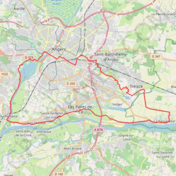
Trace-gpx-boucle-angevine-de-la-loire-a-velo-2561186 4
- Distance: 24.8 mi
- Elevation gain: 453 ft
- Maximum elevation: 177 ft
- Elevation loss: 449 ft
- Minimum elevation: 49 ft
Interactive trail map
Trail profile
- Distance: 24.8 mi
- Elevation gain: 453 ft
- Maximum elevation: 177 ft
- Elevation loss: 449 ft
- Minimum elevation: 49 ft
About this trail
Name: Trace-gpx-boucle-angevine-de-la-loire-a-velo-2561186 4 trail, distance, elevation, map, profile, GPS track
Coordinates: 47.41730 -0.60935 47.47205 -0.42786
Other hiking, mountain biking, running and outdoor activity trails
Click on a trail to view its statistics, map and profile.
La Loire à Vélo
France > Pays de la Loire > Loire-Atlantique > Saint-Brevin-les-Pins
Distance: 408.8 mi • Elevation gain: 8,176 ft • Maximum elevation: 610 ft