Erskine Falls - Straw Falls
Great Otway National Park. #Hiking #Loop #GreatOtway
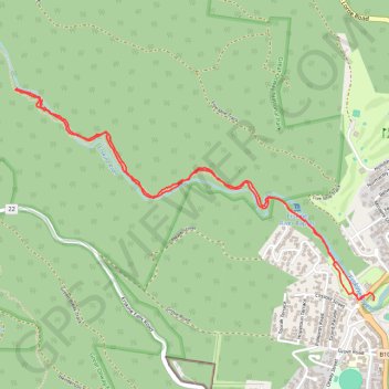
- Distance: 4.1 mi
- Elevation gain: 640 ft
- Maximum elevation: 384 ft
- Elevation loss: 643 ft
- Minimum elevation: 7 ft
- Moving time: 1 h 8 m
- Moving speed: 3.6 mph
- Maximum speed: 10.2 mph
- Total time: 1 h 17 m
- Global speed: 3.2 mph
Interactive trail map
Trail profile
- Distance: 4.1 mi
- Elevation gain: 640 ft
- Maximum elevation: 384 ft
- Elevation loss: 643 ft
- Minimum elevation: 7 ft
- Moving time: 1 h 8 m
- Moving speed: 3.6 mph
- Maximum speed: 10.2 mph
- Total time: 1 h 17 m
- Global speed: 3.2 mph
About this trail
Name: Erskine Falls - Straw Falls trail, distance, elevation, map, profile, GPS track
Start: Ocean Road, Lorne, Surf Coast Shire, Victoria, 3232, Australia (-38.53564 143.97377)
Coordinates: -38.53590 143.94888 -38.52414 143.97446