Thank you for supporting this site ❤️
Make a donation
Make a donation
Gear up for your next adventure:
As an Amazon Associate, this site earns from qualifying purchases at no extra cost to you.
Shepherds Gully - Devines Hill - Finchs Line
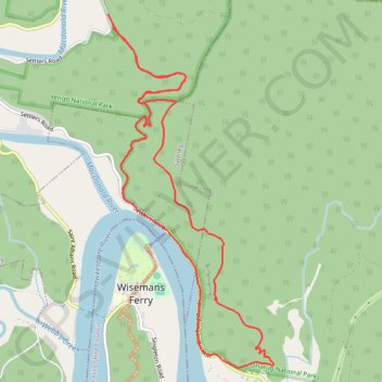
Interactive trail map
Thank you for supporting this site ❤️
Make a donation
Make a donation
Gear up for your next adventure:
As an Amazon Associate, this site earns from qualifying purchases at no extra cost to you.
Trail profile
- Distance: 8.9 mi
- Elevation gain: 1,657 ft
- Maximum elevation: 669 ft
- Elevation loss: 1,660 ft
- Minimum elevation: 36 ft
Thank you for supporting this site ❤️
Make a donation
Make a donation
Gear up for your next adventure:
As an Amazon Associate, this site earns from qualifying purchases at no extra cost to you.
About this trail
Name: Shepherds Gully - Devines Hill - Finchs Line trail, distance, elevation, map, profile, GPS track
Coordinates: -33.39333 150.98259 -33.35487 151.00419
Thank you for supporting this site ❤️
Make a donation
Make a donation
Gear up for your next adventure:
As an Amazon Associate, this site earns from qualifying purchases at no extra cost to you.