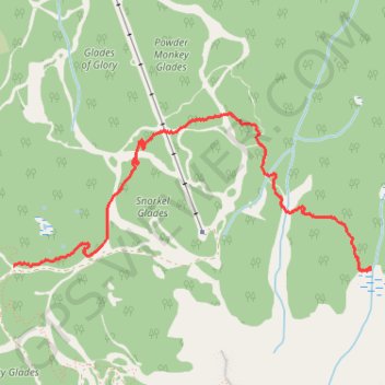
Greely Trail
- Distance: 2.4 mi
- Elevation gain: 751 ft
- Maximum elevation: 6,378 ft
- Elevation loss: 272 ft
- Minimum elevation: 5,774 ft
- Moving time: 1 h 10 m
- Moving speed: 2.1 mph
- Maximum speed: 5.1 mph
- Total time: 1 h 33 m
- Global speed: 1.6 mph
Interactive trail map
Trail profile
- Distance: 2.4 mi
- Elevation gain: 751 ft
- Maximum elevation: 6,378 ft
- Elevation loss: 272 ft
- Minimum elevation: 5,774 ft
- Moving time: 1 h 10 m
- Moving speed: 2.1 mph
- Maximum speed: 5.1 mph
- Total time: 1 h 33 m
- Global speed: 1.6 mph
About this trail
Name: Greely Trail trail, distance, elevation, map, profile, GPS track
Coordinates: 50.97121 -118.11868 50.97952 -118.08889
Other hiking, mountain biking, running and outdoor activity trails
Click on a trail to view its statistics, map and profile.