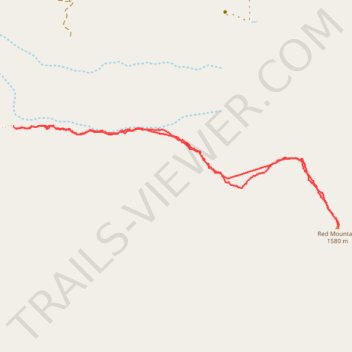
Red Mountain Hike
- Distance: 3.5 mi
- Elevation gain: 1,686 ft
- Maximum elevation: 5,246 ft
- Elevation loss: 1,693 ft
- Minimum elevation: 3,812 ft
- Moving time: 2 h 30 m
- Moving speed: 1.4 mph
- Maximum speed: 3.0 mph
- Total time: 4 h 28 m
- Global speed: 0.8 mph
Interactive trail map
Trail profile
- Distance: 3.5 mi
- Elevation gain: 1,686 ft
- Maximum elevation: 5,246 ft
- Elevation loss: 1,693 ft
- Minimum elevation: 3,812 ft
- Moving time: 2 h 30 m
- Moving speed: 1.4 mph
- Maximum speed: 3.0 mph
- Total time: 4 h 28 m
- Global speed: 0.8 mph
About this trail
Name: Red Mountain Hike trail, distance, elevation, map, profile, GPS track
Start: Red Mountain, San Bernardino County, California, 93558, United States (35.35436 -117.60677)
End: Red Mountain, San Bernardino County, California, 93558, United States (35.35443 -117.60697)
Coordinates: 35.34868 -117.60697 35.35448 -117.58401
Topography: San Bernardino County topographic map, elevation, terrain
Other hiking, mountain biking, running and outdoor activity trails
Click on a trail to view its statistics, map and profile.