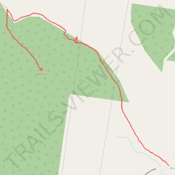
Walk up Mount Doongul
- Distance: 3.7 mi
- Elevation gain: 554 ft
- Maximum elevation: 738 ft
- Elevation loss: 89 ft
- Minimum elevation: 259 ft
- Moving time: 1 h 56 m
- Moving speed: 1.9 mph
- Maximum speed: 7.3 mph
- Total time: 2 h 56 m
- Global speed: 1.2 mph
Interactive trail map
Trail profile
- Distance: 3.7 mi
- Elevation gain: 554 ft
- Maximum elevation: 738 ft
- Elevation loss: 89 ft
- Minimum elevation: 259 ft
- Moving time: 1 h 56 m
- Moving speed: 1.9 mph
- Maximum speed: 7.3 mph
- Total time: 2 h 56 m
- Global speed: 1.2 mph
About this trail
Name: Walk up Mount Doongul trail, distance, elevation, map, profile, GPS track
End: Doongul, Fraser Coast Regional, Queensland, Australia (-25.48704 152.34480)
Coordinates: -25.50149 152.33895 -25.47827 152.36561