Thank you for supporting this site ❤️
Make a donation
Make a donation
Gear up for your next adventure:
As an Amazon Associate, this site earns from qualifying purchases at no extra cost to you.
Leura - Medlow Bath - Bruce's walk
Blue Mountains National Park. #Hiking #BlueMountains
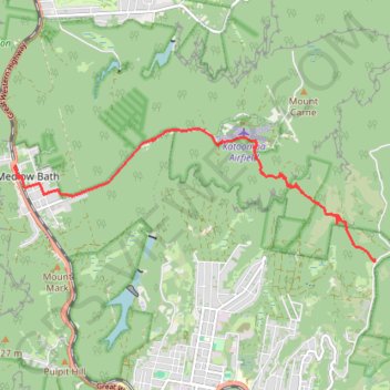
- Distance: 5.9 mi
- Elevation gain: 1,283 ft
- Maximum elevation: 3,461 ft
- Elevation loss: 889 ft
- Minimum elevation: 2,644 ft
Interactive trail map
Thank you for supporting this site ❤️
Make a donation
Make a donation
Gear up for your next adventure:
As an Amazon Associate, this site earns from qualifying purchases at no extra cost to you.
Trail profile
- Distance: 5.9 mi
- Elevation gain: 1,283 ft
- Maximum elevation: 3,461 ft
- Elevation loss: 889 ft
- Minimum elevation: 2,644 ft
Thank you for supporting this site ❤️
Make a donation
Make a donation
Gear up for your next adventure:
As an Amazon Associate, this site earns from qualifying purchases at no extra cost to you.
About this trail
Name: Leura - Medlow Bath - Bruce's walk trail, distance, elevation, map, profile, GPS track
Coordinates: -33.68731 150.28022 -33.66711 150.34631
Thank you for supporting this site ❤️
Make a donation
Make a donation
Gear up for your next adventure:
As an Amazon Associate, this site earns from qualifying purchases at no extra cost to you.
Other hiking, mountain biking, running and outdoor activity trails
Click on a trail to view its statistics, map and profile.