Bommer Canyon
Interactive trail map
Trail profile
- Distance: 2.8 mi
- Elevation gain: 797 ft
- Maximum elevation: 1,007 ft
- Elevation loss: 92 ft
- Minimum elevation: 295 ft
About this trail
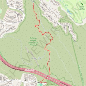
Name: Bommer Canyon trail, distance, elevation, map, profile, GPS track
Coordinates: 33.60582 -117.80610 33.62855 -117.79923
Topography: Irvine topographic map, elevation, terrain