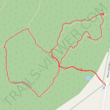
Bald Hill Reserve, Kyneton
- Distance: 1.8 mi
- Elevation gain: 138 ft
- Maximum elevation: 1,824 ft
- Elevation loss: 138 ft
- Minimum elevation: 1,762 ft
- Moving time: 51 m 39 s
- Moving speed: 2.0 mph
- Maximum speed: 6.0 mph
- Total time: 1 h 4 m
- Global speed: 1.6 mph
Interactive trail map
Trail profile
- Distance: 1.8 mi
- Elevation gain: 138 ft
- Maximum elevation: 1,824 ft
- Elevation loss: 138 ft
- Minimum elevation: 1,762 ft
- Moving time: 51 m 39 s
- Moving speed: 2.0 mph
- Maximum speed: 6.0 mph
- Total time: 1 h 4 m
- Global speed: 1.6 mph
About this trail
Name: Bald Hill Reserve, Kyneton trail, distance, elevation, map, profile, GPS track
Coordinates: -37.24114 144.49507 -37.23711 144.50119