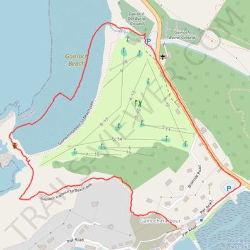
Gairloch Harbor and Beach loop Walk
- Distance: 1.4 mi
- Elevation gain: 151 ft
- Maximum elevation: 121 ft
- Elevation loss: 174 ft
- Minimum elevation: 0 ft
- Moving time: 37 m 21 s
- Moving speed: 2.2 mph
- Maximum speed: 5.9 mph
- Total time: 48 m 17 s
- Global speed: 1.7 mph
Interactive trail map
Trail profile
- Distance: 1.4 mi
- Elevation gain: 151 ft
- Maximum elevation: 121 ft
- Elevation loss: 174 ft
- Minimum elevation: 0 ft
- Moving time: 37 m 21 s
- Moving speed: 2.2 mph
- Maximum speed: 5.9 mph
- Total time: 48 m 17 s
- Global speed: 1.7 mph
About this trail
Name: Gairloch Harbor and Beach loop Walk trail, distance, elevation, map, profile, GPS track
End: Pier Road, Gairloch Harbour, Highland, Scotland, IV21 2AY, United Kingdom (57.71223 -5.68064)
Coordinates: 57.71179 -5.69088 57.71743 -5.67894