Footpath walk to Red Lion
- Distance: 1.7 mi
- Elevation gain: 190 ft
- Maximum elevation: 295 ft
- Elevation loss: 272 ft
- Minimum elevation: 43 ft
- Moving time: 40 m 28 s
- Moving speed: 2.5 mph
- Maximum speed: 4.5 mph
- Total time: 58 m 22 s
- Global speed: 1.7 mph
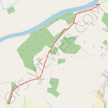
Interactive trail map
Trail profile
- Distance: 1.7 mi
- Elevation gain: 190 ft
- Maximum elevation: 295 ft
- Elevation loss: 272 ft
- Minimum elevation: 43 ft
- Moving time: 40 m 28 s
- Moving speed: 2.5 mph
- Maximum speed: 4.5 mph
- Total time: 58 m 22 s
- Global speed: 1.7 mph
About this trail
Name: Footpath walk to Red Lion trail, distance, elevation, map, profile, GPS track
End: Norton, Tewkesbury, Gloucestershire, England, GL2 9LW, United Kingdom (51.93075 -2.22307)
Coordinates: 51.91655 -2.24365 51.93085 -2.22233
Other hiking, mountain biking, running and outdoor activity trails
Click on a trail to view its statistics, map and profile.
Dean2023-311
United Kingdom > England > Oxfordshire > Oxford
Distance: 192.8 mi • Elevation gain: 11,043 ft • Maximum elevation: 951 ft