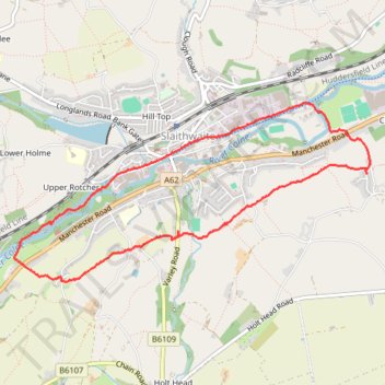
CVCW, Slaithwaite and canal
- Distance: 4.0 mi
- Elevation gain: 492 ft
- Maximum elevation: 755 ft
- Elevation loss: 489 ft
- Minimum elevation: 404 ft
- Moving time: 2 h 16 m
- Moving speed: 1.7 mph
- Maximum speed: 3.2 mph
- Total time: 3 h 7 m
- Global speed: 1.3 mph
Interactive trail map
Trail profile
- Distance: 4.0 mi
- Elevation gain: 492 ft
- Maximum elevation: 755 ft
- Elevation loss: 489 ft
- Minimum elevation: 404 ft
- Moving time: 2 h 16 m
- Moving speed: 1.7 mph
- Maximum speed: 3.2 mph
- Total time: 3 h 7 m
- Global speed: 1.3 mph
About this trail
Name: CVCW, Slaithwaite and canal trail, distance, elevation, map, profile, GPS track
Coordinates: 53.61450 -1.89751 53.62559 -1.86038
Other hiking, mountain biking, running and outdoor activity trails
Click on a trail to view its statistics, map and profile.
Marsden - Lower catch to Slaithwaite
United Kingdom > England > Kirklees > Marsden > Woods
Distance: 3.5 mi • Elevation gain: 413 ft • Maximum elevation: 997 ft