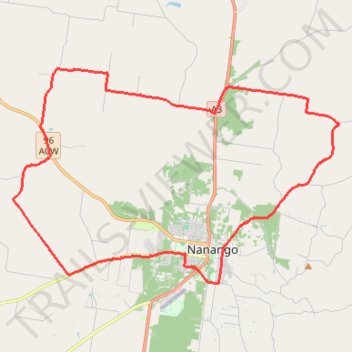
Hodgleigh and Nanango Loop
- Distance: 23.2 mi
- Elevation gain: 1,421 ft
- Maximum elevation: 1,526 ft
- Elevation loss: 1,421 ft
- Minimum elevation: 1,102 ft
Interactive trail map
Trail profile
- Distance: 23.2 mi
- Elevation gain: 1,421 ft
- Maximum elevation: 1,526 ft
- Elevation loss: 1,421 ft
- Minimum elevation: 1,102 ft
About this trail
Name: Hodgleigh and Nanango Loop trail, distance, elevation, map, profile, GPS track
Coordinates: -26.68420 151.92779 -26.61171 152.05077
Other hiking, mountain biking, running and outdoor activity trails
Click on a trail to view its statistics, map and profile.
Nanango - Brisbane River
Nanango State Forest. Mount Stanley State Forest. #MTB #Nanango #MountStanley
Distance: 32.4 mi • Elevation gain: 3,294 ft • Maximum elevation: 1,791 ft
Goodger to Nanango
Goodger, Kunioon, Brooklands, South Nanango, Nanango, Barker Creek Flat, Queensland
Distance: 32.3 mi • Elevation gain: 1,916 ft • Maximum elevation: 1,657 ft