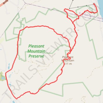
Pleasant Mountail Trail Race
- Distance: 13.4 mi
- Elevation gain: 3,701 ft
- Maximum elevation: 1,962 ft
- Elevation loss: 3,704 ft
- Minimum elevation: 449 ft
- Moving time: 3 h 6 m
- Moving speed: 4.3 mph
- Maximum speed: 10.1 mph
- Total time: 3 h 6 m
- Global speed: 4.3 mph
Interactive trail map
Trail profile
- Distance: 13.4 mi
- Elevation gain: 3,701 ft
- Maximum elevation: 1,962 ft
- Elevation loss: 3,704 ft
- Minimum elevation: 449 ft
- Moving time: 3 h 6 m
- Moving speed: 4.3 mph
- Maximum speed: 10.1 mph
- Total time: 3 h 6 m
- Global speed: 4.3 mph
About this trail
Name: Pleasant Mountail Trail Race trail, distance, elevation, map, profile, GPS track
Coordinates: 44.00707 -70.86019 44.04917 -70.80380
Topography: Cumberland County topographic map, elevation, terrain