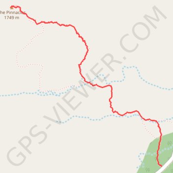
The Pinnacles
Interactive trail map
Trail profile
- Distance: 1.8 mi
- Elevation gain: 892 ft
- Maximum elevation: 5,646 ft
- Elevation loss: 59 ft
- Minimum elevation: 4,770 ft
About this trail
Name: The Pinnacles trail, distance, elevation, map, profile, GPS track
Start: CA 173, San Bernardino County, California, 92352, United States (34.29425 -117.21331)
Coordinates: 34.29425 -117.22820 34.30727 -117.21331
Topography: San Bernardino County topographic map, elevation, terrain
Other hiking, mountain biking, running and outdoor activity trails
Click on a trail to view its statistics, map and profile.
Pinnacles shooting gallery approach
United States > California > San Bernardino County
Distance: 1.9 mi • Elevation gain: 390 ft • Maximum elevation: 4,895 ft